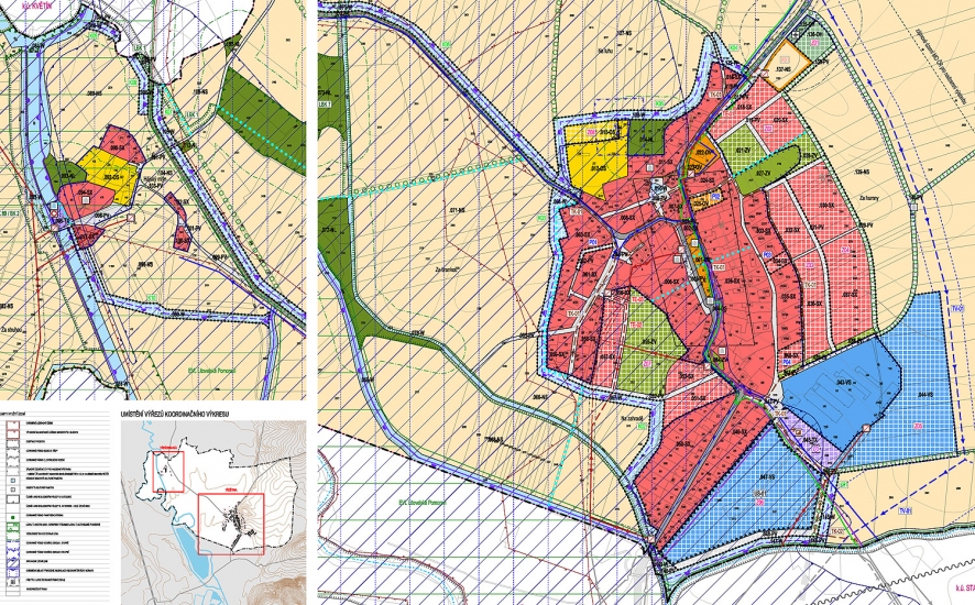
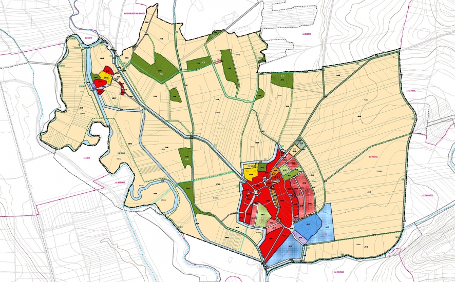
Třeština is a village with 350 inhabitants, located 5 km northeast of Mohelnice. The territory of the village stretches on the left bank of the Morava River‘s winding riverbed, the flat terrain slightly rises in the east towards the hills of Hanušovická vrchovina. It is a typical village of the Haná region with well-preserved large farmhouses around a spindle-like square with basic public amenities in the middle. On the banks of the Morava River there is a settlement called Háj belonging to the village where a power station was founded in 1901, making Třeština the first municipality with electricity in the Austria-Hungary monarchy (even before Prague and Vienna). In 1922, the son of the original owner had a new power station built together with a villa designed by B. Fuchs and J. Štěpánek. In our proposal, we are trying to clearly define the boundary between the settlement and the landscape, and to enhance the penetrability of the municipalities. We suggest development towards the east where there is no danger of floods, plus we are completing the amenities with a retirement home and greenery in the form of two parks.
- location:
- Třeština, Olomoucký kraj, CZ
- client:
- Třeština Municipality
- authors:
- Jiří Knesl, Jakub Kynčl, Jan Špirit, Bohuš Zoubek
- project phase:
- completed
- project period:
- ÚP: 2011–2012, Z1: 2020
- project area:
- 543 ha