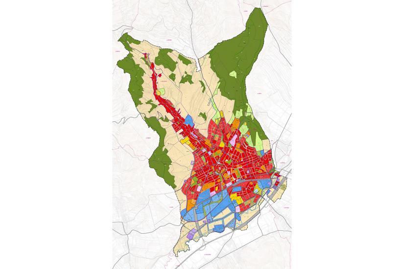
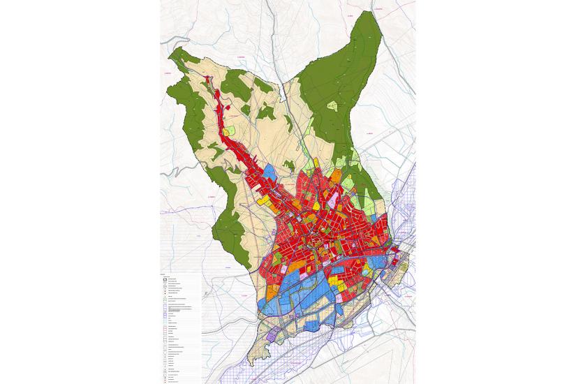
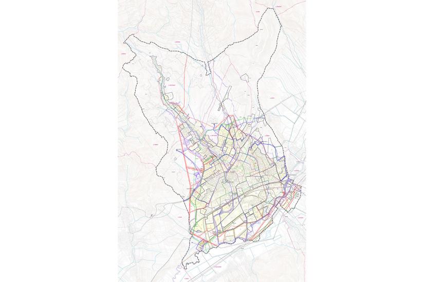
The city of Šumperk has approximately 29 000 inhabitants and it is the administrative, political and economical centre of southwestern Moravia. It is situated 60 km from Olomouc and thanks to its location it is nicknamed ”Gateway to the Jeseníky Mountains”. The strong German character of the city changed after the WW II when most of its inhabitants were expelled and the initially well-set development stopped under the administration of socialist incomers. We are trying to rectify some of the errors and create a clear set of rules for further development in the zoning plan. Today, the city is struggling with problems typical for most of the Czech cities and therefore we can use it to demonstrate the solutions we are trying to apply elsewhere. First, it is a clear definition of the boundary between seat and landscape, ideally through some sort of form similar to field paths or walls. Second, it is an effort to return multifunctionality to the city, to create conditions for a variety of functions, types and activities. Another motive is polycentricity; namely, we are trying to define conditions for the creation of new sub-centres that would bring back walking, neighborhood solidarity and a feeling of local citizenship to the cities. The last motive is a clear definition of private and public, not just from the perspective of property ownership but also in accordance with the purpose of use. As a result, the public regulation is very detailed, whereas private regulations have only basic limits set.
- location:
- Šumperk, Olomoucký kraj, CZ
- client:
- Šumperk Municipality
- authors:
- Jiří Knesl, Jakub Kynčl, Jan Špirit, Bohuš Zoubek
- project phase:
- completed
- project period:
- ÚP: 2009–2011, Z1: 2015, Z2a: 2020, Z2b: 2021, Z3: 2021, Z4: 2021, Z5: 2022
- project area:
- 2 790 ha